

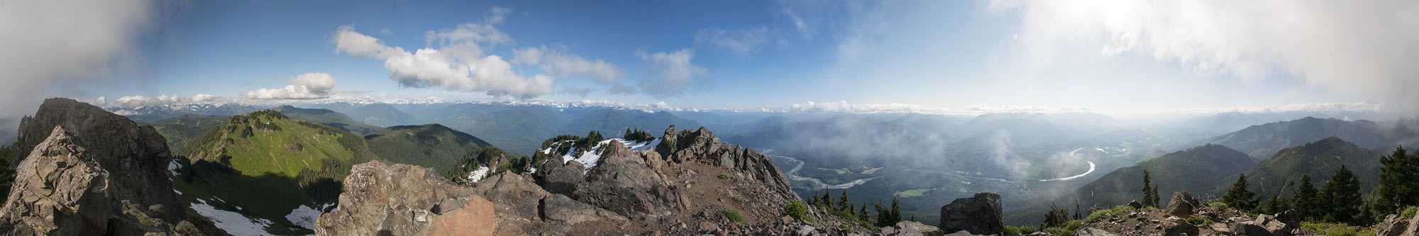
The Art of Geography's use of panoramic virtual reality was conceived as a way to create a visual documentary of special places in North America. Natural or wilderness lands provide refuge and inspiration for people as well as habitat for other species.
The pressure of population, economic growth, park budget cuts, climate change, and catastrophic events often encroaches upon our green spaces and wilderness lands. It is my hope that through experiencing the special beauty of our wild lands, the public will better understand the value of open space and wilderness and want to preserve it for future generations to enjoy.
When shooting these scenes, there was also a sense that many of these locations will never be the same again; some may improve, some may be destroyed--because geological and environmental change is inevitable. People usually think of big changes only occurring in millennial timescales, but all it takes is one natural disaster (Indian Ocean tsunami, Mt. St. Helens, earthquake on the San Andreas fault) to devastate an area for generations. Not to mention man-made disasters such as giant forest fires. These panoramas provide a unique documentary record of what specific places looked like at recorded moments in history.
The tremendous amount of effort that goes into making these immersive experiences a way of honoring a moment, a sentient awareness, and a place. Many of these scenes might require ten thousand words to describe; yet the power of this medium is that one immersive panorama can impart even more than those many words. If you think any of these virtual reality panoramas are impressive, consider that most people who view the same panorama as a four to five foot wide print find the print more striking.
One of the most gratifying results has been how people who might not otherwise be able to visit a wilderness location could enjoy them on VirtualParks.org. Thank you for your support.
Outline of the panoramic process
- Choose a scene you want to capture
- Shoot overlapping images of the scene using a camera
- Transfer or scan the images into a computer
- Stitch the images together using software that can stitch photos together
- Build a virtual reality scene file from the stitched image
- Publish the virtual reality scene file on the web